Light Detection & Ranging (LIDAR)
Ensuring Data Accuracy and Precision
The LiDAR and other remote sensing methods are used to acquire high accuracy spatial data and to create accurate 3D digital twins.

What is LiDAR Mapping?
Light Detection and Ranging (LiDAR), is a remote-sensing technology that uses light in the form of pulsed laser beams to measure ranges (variable distance) to a target. LiDAR Mapping is a remote sensing mapping technology that uses calibrated laser returns from the earth’s surface which are then reflected to a GPS-monitored helicopter that densely samples the surface of the Earth. LiDAR data can determine the precise elevation and geospatial location of each measured surface object. LiDAR uses lasers to create an accurate 3D models or maps of the objects and environment. Techwave has the technology and capacity to deliver high-quality, cost-effective mapping services that are tailored to each client.

How does it work?
1
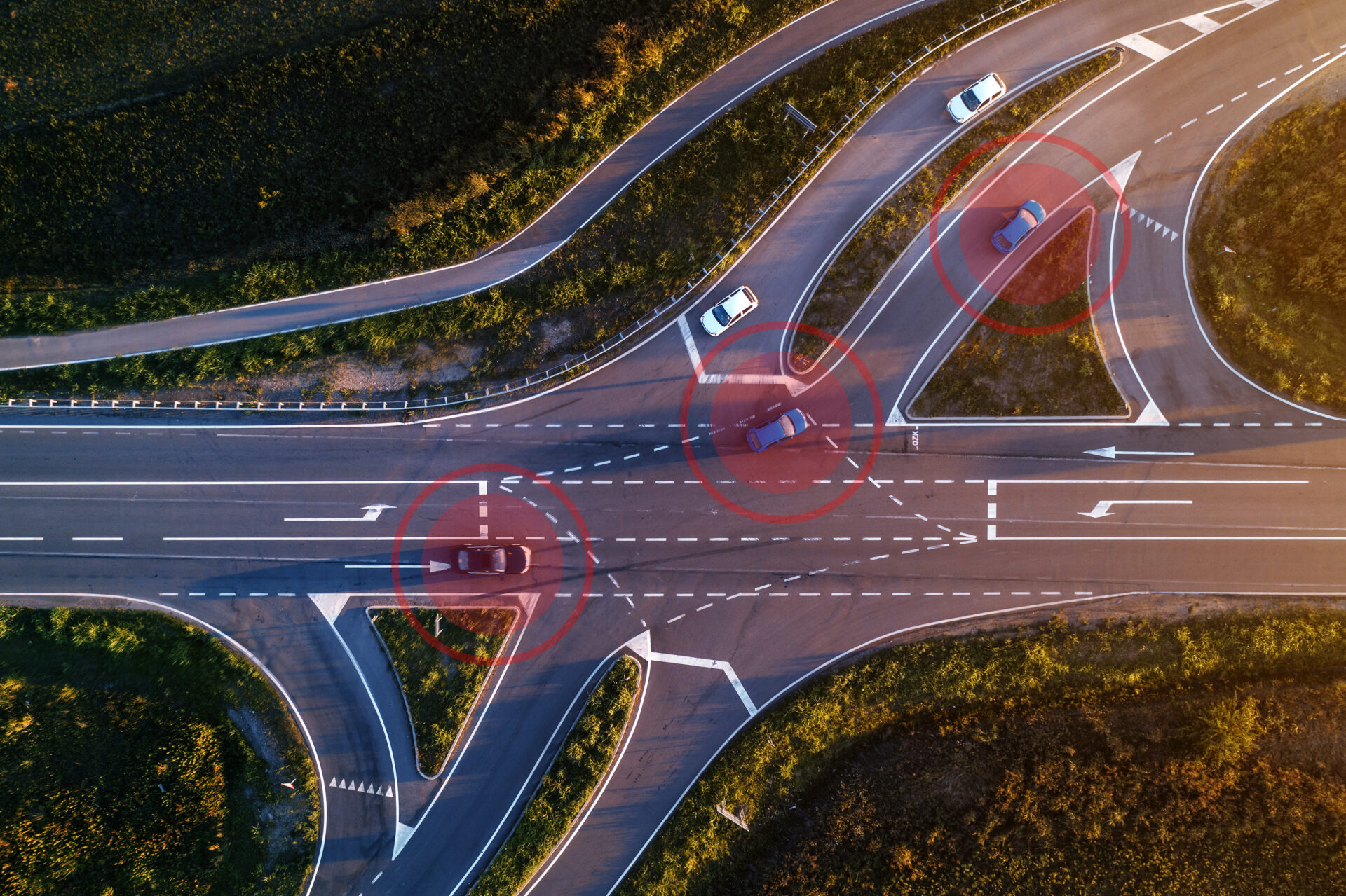
A LiDAR sensor sends out laser pulses in the surrounding environment to reach the target.
2
The pulses then bounce back and measure the time it takes for the light to bounce back.
3
The sensor calculates the distance to an object by measuring how long it took for the light to return.
4
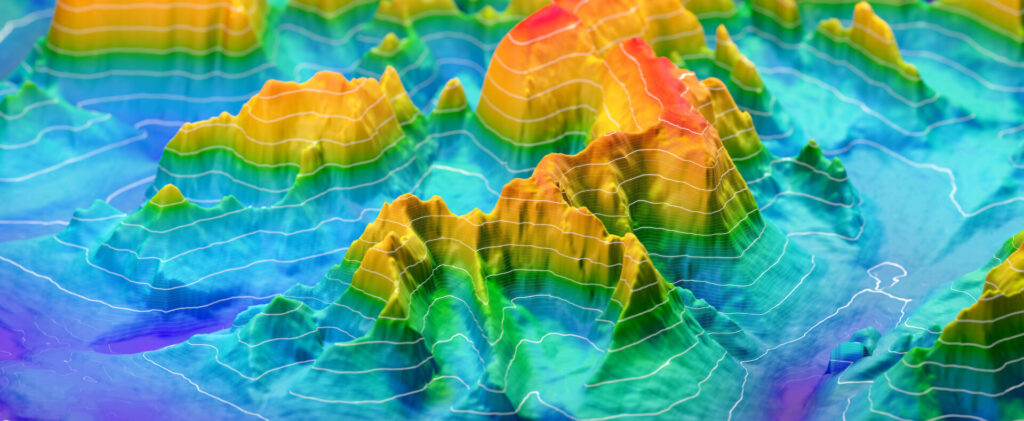
Each of these measurements can then be mapped into 3D visualization of the map, which is called a point cloud, and this can be utilized by computers for various geospatial analytics.
What are the advantages of LiDAR?
Accuracy
The resulting images through LiDAR are more accurate and precise as compared to other remote sensing technologies particularly for the above ground assets.
Cost
In recent years, the costs of building and using LiDAR systems are reducing because it’s becoming easier and cheaper to collect more and more data, and Light Detection and Ranging is being used in more applications.
Completeness
Laser beam can penetrate canopies to deliver ground profiles even in densely vegetated surfaces and ensures the completeness of the data.
Independent of Weather
Irrespective of bad weather and sunlight Light Detection and Ranging can collect data accurately. Thanks to the Active illumination sensor in LiDAR, which improves efficiency and does not get affected by variations like light, darkness, or fog.
Use Cases
Our Technologies
Techwave has been innovative in its ability to seamlessly integrate point cloud datasets from multiple LiDAR sensors such as airborne LiDAR systems, stationary scanning systems, and vehicle-based or “mobile mapping” scanning systems.
We offer LiDAR technology for applications like:
Topographic mapping for engineering design
Terrain modeling for floodplain management
Electrical transmission utility as-builts
Utility corridor maintenance analytics
- Vegetation encroachment analytics
- Line clearance analytics
Rail Asset classification, mapping, and analytics
Urban forestry, and many others
Why Techwave?
Our Approach
At Techwave, we strive to be a world-class lighting technology provider. With that role comes the responsibility to be intimately familiar with newer applications and help our partners understand their real value in them.
We provide the following Onboard Sensors & Hardware for products like field vehicles:
- GNSS cm grade GPS antennas
- Multiple Laser scanners operating
- 360-degree Camera (various lenses)
- IMU (inertial measurement unit)
- Ruggedized PC Laptop computer
- 12V Battery, wired to vehicle electrical system
- Heavy-duty alternator
- External USB 3.0 SSD portable hard drives
Our Portfolio
LiDAR is a useful remote sensing data collection method which supports precise network update and 3-dimension spatial analysis. Its unsurpassed data accuracy against conventional forms of measurements, LiDAR became a critical component for asset maintenance and management. From maintaining the existing network to minimizing power outages, LiDAR mapping can provide support in corridor mapping, right-of-way alignments etc., We offer the following LiDAR services:
- LiDAR Data Acquisition
- LiDAR Data Processing
- Strip Matching
- LiDAR Classification
- Topographic Feature Classification
- Powerline Asset Classification
- Rail Asset Classification
- Digital Surface Models
- Digital Terrain Models
- 3D Digital Twin Creation
- Network Review and Update
- Utility Vegetation Management
- Data Analytics

Light Detection & Ranging (LIDAR)
Let’s Get Started
Are you ready for a smarter, more productive approach to your business? Get in touch today.
